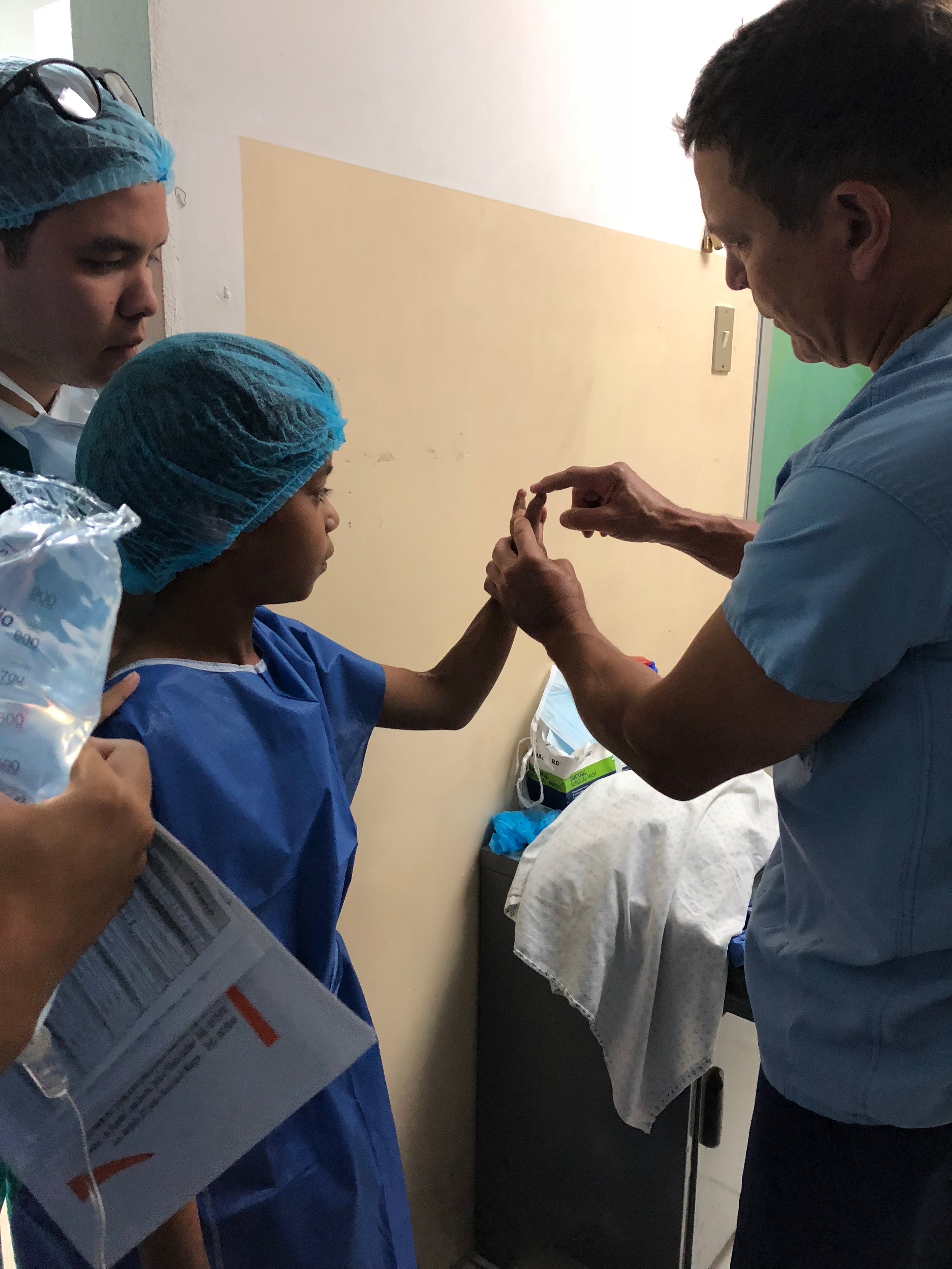
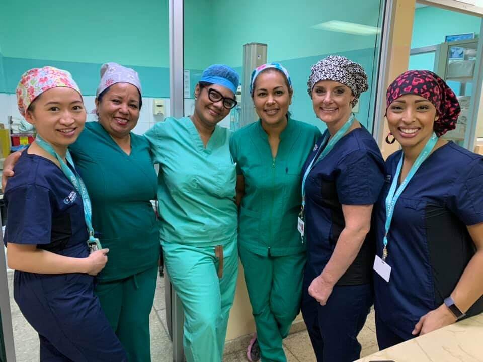
Medical Ministry International in Ecuador

Medical Ministry International Ecuador has been one of the most popular destinations for our international Medical Teams. Led by longtime MMI Ecuador Project Director, Dr. Susana Logacho, who followed Sara Risser and Mesa Taveras, teams have worked with Ecuadorians in the Coastal and Mountainous Regions. We focus on Primary Care, Dental Care, Vision Care, and Surgical Care. We have even completed a project focused on Knee Replacements.
In Milagros, a Health Center was opened in 2001 and continues to provide vision care services and surgery as well as other medical services.

Dr Susana Logacho - Project Director
Project Sites:
-
Ambato is a city called the "land of fruits and flowers" because you can find a huge variety of fruits and flowers around the year. This city is also famous for the handicrafts and leather factories. The Tungurahua volcano is visible from this city. Ambato is 30 min from Baños, Tungurahua.
San Pedro de Pelileo produces textiles and Salasaca woolen rugs and hangings. The surrounding area of Patate has a lush agricultural area producing avocados, tree tomatoes, grapes, mandarins, and limes.
Project Description
The purpose of these projects are to provide Optometry, Dental, and General medical care to the people of the villages surrounding Ambato, including Pelileo. The teams work at local schools and churches in partnership with the municipality. Each day the team sets up a clinic with a triage area, consultation rooms, fluoride treatment area, pharmacy, and health education area. MMI Ecuador trains local leaders in different communities before the projects so that they can lead Integrated Health during the project, and can be a part of the service that is provided to their own community.Elevation
2,500 m (8,202 ft.)Climate
The weather is temperate-dry.
Click here for more info. -
Baños de Agua Santa, commonly referred to as Baños, is a city in eastern Tungurahua Province in central Ecuador. Baños is the second most populated city in Tungurahua (after Ambato, the capital) and is a major tourist center.
Tungurahua just 180 km from Quito (the Capital of Ecuador). Baños is located in a valley with waterfalls and hot springs near the Tungurahua volcano with a height of 5016 meters.
There is a population of 18,000 people and it is known as the gateway to the Amazon rainforest. Visits can be made to nearby forest reserves deeper into the jungle, which is full of monkeys, birds, and tropical plants.
Project Description
The purpose of these projects are to provide Optometry, Dental, and General medical care to the people of the villages surrounding Baños. The teams work at local schools and churches in partnership with the municipality. Each day the team sets up a clinic with a triage area, consultation rooms, fluoride treatment area, pharmacy, and health education area. MMI Ecuador trains local leaders in different communities before the projects so that they can lead Integrated Health during the project, and can be a part of the service that is provided to their own community.Elevation
1,826 m (5,991 ft.)Climate
On average, the temperatures are always high. It can be windy and cool.
Click here for more info. -
Chone is a town in the province of Manabi in Ecuador. It is located in the grasslands and lowest marsh, moist and fertile in the Ecuadorian coast. Traditional crop planting and nourishing fruits of various coastal area; as cocoa, coffee, banana, cassava, maize, among others. The canton or town is known to be dynamic and hospitable and the labour is very oriented to fishing and agriculture. There is a population of 100,000.
Project Description
This project is intended to provide medical care, preventive health, and surgical work in rural areas of the county where access is very limited. After the collapse of the main hospital following an earthquake, surgery backlog has been increasing. The reduced number of surgeons in the area is another limiting factor. Two new ORs have been built, but they have been struggling to cover the demand for surgery. The hospital and the health district of Manabí has inquired MMI-Ecuador about working alongside long them.Surgeries will be done at the Municipal Hospital, and will include General Surgery, Hand Surgery, OB-GYN, ENT and others. This project will also provide a training opportunity for those who are serving in the medical field. The doctors and nurses will be lecturing on different topics related to the identified needs of the communities. These trainings have been very well received by the medical personnel in the area.
Climate
Chone's climate is classified as tropical. The summers have a good deal of rainfall, while the winters have very little. The temperature here averages 25.7 °C. The average annual rainfall is 1058 mm.
Click here for more info. -
Cotacachi is small village in the Imbabura province, around 15 km north of Otavalo and 25 km south-west from Ibarra. It is a famous for its leather work.
Many of the patients you will see (Ethnic groups include Mestizo, Indigenous, and Afro-Ecuadorians) do not receive regular medical and dental care. For this reason, you are likely to see all sorts of health problems. Common complaints include gastritis, arthritis pain, lower back pain, skin problems, and dehydration. Spanish is a second language for some of the patients you will meet, otherwise they will usually speak an indigenous dialect or language. Interpreters will be available on these projects.
Project Description
The teams are always busy and work at local schools and churches in partnership with the municipality. Each day teams set up clinics with a triage area, consultation rooms, fluoride treatment area, pharmacy, and health education area. Teams work in a different community each day, providing health care to those who have little or no regular access to it. Teams often travel to a different village every day by bus.Elevation
2,438 m (8,000 ft.)Climate
Most rainfall is seen in February, March, April and October. These months make up the "rainy season."
Click here for more info. -
Daule, Guayas, Ecuador is a city located in central Guayas, Ecuador, on the Daule River. Daule is a very well-known for their high production of rice. Economical poverty is present in this region and some segments of the people in rural or sub-urban areas are in great need. Resources are mainly concentrated in the hands of a few wealthy families.
Some communities in Daule still present very low access to medical services, or where there is, people still struggle with money to afford to by medications. In some places, essential medications are free under the government's health insurance program.
Project Description
This project, in coordination with the Municipality of Daule, is intended to provide OB-GYN care along with General Surgery, with great emphasis in preventive care. It is a part of the "Healthy Women" project, under the “Preservation of Life” Program, and provides specialized women's health care in developing countries. This vision started in Bolivia in April 2017 its being implemented in Ecuador. “Healthy Women” works primarily in rural and sub-urban areas where access is very limited.This project will also provide a training opportunity for those who are serving in the medical field. Our Doctors and Nurses will be lecturing on different topics related to the identified needs of the communities. These trainings have been very well received in the past by the medical personnel in the area. There are also learning opportunities for health care workers and the patients regarding STD/HIV/AIDS/HPV and breast cancer education.
Climate
Daule has a tropical climate. In winter, there is much less rainfall than in summer. The average annual temperature is 25.3 °C in Daule. About 905 mm of precipitation falls annually.
Click here for more info. -
Latacunga is located around the Cotopaxi volcano with a beautiful view of the volcano, trees, and mountains. We have an amazing lake called Quilotoa. 70% of population are Indigenous (Sunbahuas and Tiguas).
Spanish is a second language for some of the patients you will meet. Some may just speak an indigenous dialect or language. Interpreters will be available on this project.
Project Description
The purpose of these projects are to provide Optometry, Dental, and General medical care to the people of the villages surrounding Latacunga. MMI Ecuador trains local leaders in different communities before the projects so that they can lead Integrated Health during the project, and can be a part of the service that is provided to their own community.Elevation
2,760 ft (9,055 m)Climate
The weather is dry and cold.
Most rainfall (rainy season) is seen in February, March, April and October.
Click here for more info. -
La Troncal is very well-known for the sugar cane industry and rice plantations. Poverty is present in this region and many who live rural or sub-urban areas have significant needs. Some communities in La Troncal have low access to medical services, but many people still struggle to afford medications.
Project Description
These projects are intended to provide medical/dental/eye care and preventive care in rural areas of the county where access is very limited. We will also help build capacity in this community by training those who partner with us on the field. The kind of training done will be related to the identified needs of the communities. These trainings are always very well received by the medical personnel in the area.Elevation
112 mClimate
There are dry and wet seasons, but the weather is usually warm.
Most rainfall occurs in the rainy season, which is February, March, and April.
Click here for more info. -
La Libertad is a city located in western Santa Elena, Ecuador, by the sea. Santa Elena is a very dry area with very little economic activities. The resources are mainly concentrated in the city of Salinas and Libertad. The main productive activities are fishing and some agriculture.
Project Description
The Libertad Project is intended to provide Primary/Dental/ Surgical care to those with limited or no access to these services in the county. Basic medical and dental care are often available, but very limited due to high cost or other reasons. Goals of these projects are also to meet the needs for training and prevention in the communities of Santa Elena and continue building capacity that will bring this community to a better health care system, by training those who partner with us on the field.Elevation
36 ft (117 m)Climate
Libertad has dry periods in July, August, September, October and November.
Click here for more info. -
Milagro is very well-known for the sugar cane industry and its world-famous pineapples. These activities only benefit a small percent of the population working directly or indirectly for it, as resources are mainly concentrated in the hands of a few families. Poverty is very present and many people living in rural and sub-urban areas are in great need. Some communities in Milagros still present very low access to medical services. Where there is acccess, many people still struggle to afford the medications and procedures. In a few locations, essential medications are free under the health insurance program that the government has in place.
Project Description
These projects are intended to provide Primary/Dental/Preventive Care to those with limited access to those kind of services in the county. The Integrated Health component will include discussions about hygiene, preventing the spread of germs, Obesity, Diabetes, Oral Health, as well as HIV/STDs. We will also help build capacity in this community by training those who partner with us on the field. The kind of training done will be related to the identified needs of the communities. These trainings are always very well received by the medical personnel in the area.Elevation
12 m (39 ft)Climate
A lot of rain (rainy season) falls in the months: January, February, March and April.
Click here for more info. -
Otavalo is in the northern area of Ecuador just two hours outside of Quito. The population is around 39.354 inhabitants. Most of the population is from the Otavalo indigenous groups. Many people are involved in weaving textiles which are sold at a large market. Farming is another popular career due to the volcanic soil. The town is surrounded by various mountain and volcano peaks. The annual temperature is 11C with the rainy season occurring from Jan to May. The dry season is from June to December. There are 18 health clinics in the area but many of them are fairly run down. In the area, there is a lack of knowledge regarding proper nutrition and water purification.
The project will involve going to many of the poor villages surrounding the Otavalo area and providing triage areas, consult rooms, fluoride treatments, pharmacy rooms and Health Education areas.
Project Description
The purpose of these projects are to provide Optometry, Dental, and General medical care to the people of the villages surrounding Otavalo. The teams work at local schools and churches in partnership with the municipality. Each day the team sets up a clinic with a triage area, consultation rooms, fluoride treatment area, pharmacy, and health education area. MMI Ecuador trains local leaders in different communities before the projects so that they can lead Integrated Health during the project, and can be a part of the service that is provided to their own community.Elevation
8307ft (2532m)Climate
[UPDATE THIS] -
The small village of Piñas. Known as the “Orchid of the Andes”, is a canton in the El Oro Province, Ecuador. The canton has 10 parishes (6 rural and 4 urban) totalling approximately 40,000 inhabitants. The town is built in steps going up the side of the mountain, so there are many flat levels connected by sometimes very steep roads. These streets are also connected by crisscrossing flights of brightly painted stairs for pedestrians. Economic activity includes agriculture such as cattle raising and cocoa and sugar cane growing.
Project Description
The Piña project is intended to provide surgical care to those in the area with limited access. Surgeries will be done at the local hospital, and will include General, OB-GYN, Hand and ENT cases. Local surgeons from the hospital will be closely working with our team and will follow up with the post op cases. The team will also have a focus on primary and preventive care and will provide a training opportunity for those who are working in the medical field. Our Doctors and Nurses will be lecturing on different topics related to the identified needs of the communities. These trainings have been very well received by the medical personnel in the area. It will also include a day of Community Service, where part of the team will facilitate a community program.Elevation
1066 m (3500 ft)Climate
A very mild climate, with year-round temperatures between 15-28°C (60-85°F). -
Puerto Ayora is a town in central Galapagos with more than 12,000 inhabitants. It is located on the southern shore of Santa Cruz Island. Puerto Ayora is known as Galapagos heart. Tourism is a large industry in this area. As it is in a protected location alongside Academy Bay the temperatures hover anyway between 18 to 29C. The hot season is from December to May and the cold season is from June to November. There are two hospitals in this area but the communities that Medical Ministry International will be visiting do not have health centers or dental care. The areas also have a lack of knowledge on how to eat a well-balanced diet and do not know how to create safe drinking water.
Project Description
The purpose of these projects are to provide Optometry, Dental, and General medical care to the people of the villages surrounding Otavalo. The teams work at local schools and churches in partnership with the municipality. Each day the team sets up a clinic with a triage area, consultation rooms, fluoride treatment area, pharmacy, and health education area. MMI Ecuador trains local leaders in different communities before the projects so that they can lead Integrated Health during the project, and can be a part of the service that is provided to their own community.Elevation
56 ft (17m)Climate
[UPDATE THIS] -
Sangolquí is located in the Chillos Valley, just south of the equator and 35 km east of Quito. Travel to the center of Quito takes about 1 hour.
Sangolquí was founded by the Spanish on the site of a pre-Columbian settlement. It was named after a prominent indigenous leader and developed as a centre for agricultural and textile production. Agriculture remains an important activity in the Valley and producers sell vegetables, grain, and other local products. The city is surrounded by many poor villages without much access to healthcare. They don´t have access to safe water.
Project Description
These projects are intended to provide medical/dental/eye care and preventive care in rural areas of the county where access is very limited. We will also help build capacity in this community by training those who partner with us on the field. The kind of training done will be related to the identified needs of the communities. These trainings are always very well received by the medical personnel in the area. The Integrated Health component will include discussions about hygiene, preventing the spread of germs, dental health, and preventing dehydration.Many of the patients you will see do not receive regular medical and dental care. For this reason, you will see a variety of health problems. Common complaints include gastritis, arthritis pain, lower back pain, skin problems, and dehydration.
Elevation
9,848 ft (3,002 m)Climate
Most rainfall (rainy season) is seen in February, March, April and October. The temperature during the day is between 60 degrees F and 80 degrees F. At night it may dip down into the 40s and 50s.
Click here for more info. -
San Cristóbal is the easternmost island in the Galápagos archipelago, as well as one of the oldest geologically. San Cristobal Island is composed of three or four fused volcanoes, all extinct. This island hosts frigatebirds, Galápagos sea lions, Galápagos tortoises, blue and red footed boobies, tropicbirds, marine iguanas, dolphins and swallow-tailed gulls. Its vegetation includes Calandrinia galapagosa, Lecocarpus darwinii, trees such as Lignum vitae, Matazarna. In the waters nearby are sharks, rays, and lobsters. The majority of inhabitants make their living in government, tourism, and fishing.
Project Description
The Galápagos Projects are intended to provide Primary, Dental, and Surgical Care to those from surrounding areas with limited or no access to those kinds of services. We will also help build capacity in this community by training those who partner with us on the field. The kind of training done will be related to the identified needs of the communities. These trainings are always very well received by the medical personnel in the area.Elevation
Highest point: 730 m (2,400 ft)Climate
On average, the temperatures are always high. A lot of rain occurs in the months of January, February, March and April; the rainy season. Has dry periods in July, August, September, October and November; the dry season.
Click here for more info. -
Santa Cruz is an island in Ecuador’s Galápagos National Park. It’s known for the Charles Darwin Foundation, the Galápagos National Park, and beautiful sandy beaches like El Garrapatero. Situated in the center of the archipelago, Santa Cruz is the second largest island after Isabela. Its capital is Puerto Ayora, the most populated urban centre in the islands. On Santa Cruz there are some small villages, whose inhabitants work in agriculture and cattle raising. This island is a large dormant volcano. It is estimated that the last eruptions occurred around a million and a half years ago. There is a gigantic lava tunnel that is over 2000 meters long on the island that many tourists visit and walk through.
Project Description
The Galápagos Projects are intended to provide Primary, Dental, and Surgical Care to those from surrounding areas with limited or no access to those kinds of services. We will also help build capacity in this community by training those who partner with us on the field. The kind of training done will be related to the identified needs of the communities. These trainings are always very well received by the medical personnel in the area.Elevation
Highest point: 864.5 m (2,836 ft)Climate
On average, the temperatures are always high. A lot of rain occurs in the months of January, February, March and April; the rainy season. Has dry periods in July, August, September, October and November; the dry season.
Click here for more info. -
Santa Elena is a town in southwestern Ecuador, and is the capital of both the province and the canton of the same name. The city has few economic activities, including fishing and agriculture.
Project Description
The Santa Elena projects are intended to provide primary/dental/surgical and preventive care in rural areas of the county where access is very limited. Surgeries will be done at the Liborio Panchana Sotomayor Hospital, which is a very nice and new facility with 2 ORs available. This project will also provide training opportunities for health care workers and patients on different topics related to the identified needs of the communities.Elevation
26 m (85 ft)Climate
Santa Elena has a hot desert climate (BWh). The wet season is warm and overcast; the dry season is comfortable, windy, and partly cloudy; and it is oppressive year round. Over the course of the year, the temperature typically varies from 63°F/17°C to 82°F/28°C. -
Quevedo is a large town that is very oriented towards agriculture. The resources are mainly concentrated in the city of Babahoyo. Banana, African Palm, Cocoa, and Rice are some of the main crops being produced in the area. In this town, basic medical and dental care are available, but very limited.
Project Description
These projects are intended to provide medical/dental/eye care and preventive care in rural areas of the county where access is very limited. Surgeries will be done at the local hospital. We will also help build capacity in this community by training those who partner with us on the field. The kind of training done will be related to the identified needs of the communities. These trainings are always very well received by the medical personnel in the area.Elevation
74 m (243 ft)Climate
There are dry and wet seasons, but the weather is usually warm. Most rainfall occurs in the rainy season, which is January, February, March, and April.
Click here for more info. -
Tena, the capital of the Napo Province, is a city in the Amazon rainforest. Known as the “cinnamon capital" of Ecuador and founded by missionary explorers, Tena has emerged as a major commercial center of Ecuador.
Where the Tena and Pano rivers meet, in the center of town lies a popular pedestrian bridge, "el puente peatonal". The rivers merge to become the Tena River, which soon joins with the Misahuallí and eventually flows into the Napo River. The Napo winds its way south into Peru, and is in effect the 9th largest tributary to the Amazon River. Tena is surrounded by forested hills and is located at the edge of the Andes, which are visible to the west. Tena is a popular launching point for jungle, kayaking, and rafting tours.
Misahuallí is a bustling and somewhat remote port at the juncture of the rivers Napo and Misahuallí. The village was the original Ecuadorian jungle tourist outpost, and after dozens of years and despite the entrance of Tena and other jungle towns into the tourism market, is still a popular starting point for jungle tours and canoe trips.
Project Description
Teams usually work in a different community each day. These communities will average 25-45 minutes distance by bus on rough roads. The teams set up mobile clinics in local schools and churches in partnership with the municipality with a triage area, consultations rooms, a fluoride treatment area, a pharmacy room, and a health education area.Elevation
598 m (1,962 ft)Climate
The average March temperature ranges from a high of 16oC (61oF) to a low of 13oC (55oF). It is a rain forest so we can count on rain at some point each day, and often it rains at night. The roads to the small villages are rough and they will be muddy because of the rain. It can also be cold and windy at times. There is rainfall year-round, with an annual average of 171.65 inches (4,359.91 mm). The heaviest rains come in April, May, and June.
Click here for more info.


Travelling on a Project
-
Travelers must present a passport, which must be valid for at least six months beyond the date of expected departure. Travel Visa is not required. Tourists must also provide evidence of return or onward travel. There is a $45.00 USD departure tax, the payment of which may or may not be included in your ticket. If not, payment can be made at the ticket counter.
• Americans:
Must present a passport, which is valid at time of entry. For more information see the US State Department website: https://travel.state.gov/content/passports/en/country/ecuador.html• Canadians: Please check the following website for the most current entry/exit requirements:
http://travel.gc.ca/destinations/ecuador• International: Please contact the MMI Office or Globespan Travel Management for visa requirement, if needed. mmitravel@globespan.com
-
Please email ALL CREDENTIALS upon application, as these must go to the Project Director in the country to be translated and then taken to the Ministry of Health to get temporary licenses prior to your arrival.
• For everyone, we need:
- Colour Scan / Photocopy of Passport (photo page)
- Colour photo for your name badge (any good photo, we can adjust size)
- Travel Itinerary
- Supply Lists• Medical Professionals, we also need your:
- Current License (through time of project)
- Diploma (Techs, Nursing, Dental, MD and Board Certifications)
- Curriculum Vitae or Resume (this also will help the Project Director know your skills & experience to assign you a task on the project, especially for 1st time participants)• Health Care Students: Letter of Good Standing from your school (including year of study and graduation date).
• All MINORS travelling with only one parent, or without their parents, will need a letter from BOTH parents stating that it is OK for the child to travel with one parent or an appointed guardian. The letter should be signed and notarized. MMI needs a copy of this letter, and the parent or guardian should carry the original letter while travelling.
-
Airfare is not included on the Project Schedule because the costs for airfare vary significantly based on the country location, location of team members, and time of year.
Once accepted for a Project Team, participants can contact our designated travel agent to coordinate schedules with the team itinerary.
Globespan Travel Management
www.globespan.comEmail: Globespan on behalf of Medical Ministry International mmitravel@globespan.com
Phone: Connie Kelsey at: (800) 810-1948 or (416) 322-7629
• Applicants from outside USA or Canada:
Travel arrangement can be procured locally or with the recommended agency, but arrivals & departures must coordinate with team. -
We strongly recommend that you consult a travel clinic, as they are aware of outbreaks and can suggest preventative immunizations. All routine immunizations should be up-to-date. Please check the following website for the most current information.
• Americans: https://wwwnc.cdc.gov/travel/destinations/traveler/none/ecuador
• Canadians: https://travel.gc.ca/destinations/ecuador
-
MMI will arrange local accommodations for the team.
• Laundry Service: usually available for additional fee
• AC: dependent on location
• Phone Service: check with your cell phone provider, roaming is very expensive
• Wifi/Internet: dependent on locations
• Voltage: 110V.
• Meals: MMI will provide meals for the team. Dietary restrictions can be indicated on your application and we will do our best to accommodate your needs. Be sure to bring your own re-usable water bottle with a wide mouth for refilling. Purified water is supplied. If you would like to bring snacks to have throughout the day, please bring items such as peanut butter, granola bars, trail mix or pretzels and crackers in sealable containers (like Ziploc bags). -
• Language: Spanish (Castilian), Quechua and indigenous languages
• Religion:
- Roman Catholic: 74%
- Evangelical: 10.4%
- Jehovah's Witnesses: 1.2%
- Others: 6.4%• Government: Presidential Republic
-
The money in Ecuador is the United States dollar (USD). Small bills ($5s, $10s and $20s) are recommended. All major credit cards are accepted. Visa and MasterCard the most widely accepted (make sure to call your credit card company and let them know that you’ll be traveling internationally). Traveler’s cheques are not easily cashed. You must bring US dollars in good condition. Torn, stamped or old bills will not be exchanged. $100 bills older than 2006 are also not accepted.
Hospital Cristiano de Especialidades, FUNDAMISC-MMI
Medical Ministry International began serving those in need in Ecuador over 35 years ago. In the 1980’s, the Vision Program developed under the local leadership of Sara Risser, Mesa Taveras and Francis Perez. The eye hospital was built with generous Medical Ministry International supporters and opened in 2001. Today, Hospital Cristiano de Especialidades, FUNDAMISC-MMI, is located in Milagros, Ecuador about 40 minutes from Guayaquil. Jone Hernandez, MMI’s Project Director, currently serves as Chair of the Board of Directors.
In February 2017, Leanne Ferris and Barbara Skinner met with the Board of Directors and staff of Hospital Cristiano de Especialidades. A new formal memo of understanding is in place to better facilitate the delivery of health care services in Ecuador.


About Ecuador
COUNTRY BACKGROUND
Ecuador, officially the Republic of Ecuador, is a representative democratic republic in northwestern South America. Ecuador is a middle-income country, with a developing economy that is highly dependent on commodities, namely petroleum and agricultural products. Ecuador is a major exporter of bananas, flowers, and cocoa. Ecuador also produces coffee, rice, potatoes, cassava (manioc, tapioca), plantains, sugarcane, and much more.The country's vast resources include large amounts of timber across the country, like eucalyptus and mangroves. It is one of the most diverse countries in the world, hosting many endemic plants and animals, such as those of the Galápagos Islands. Most Ecuadorians speak Spanish, though many speak Amerindian language, such as Kichwa, which is one of the Quechuan languages and is spoken by approximately 2.5 million people in Ecuador, Bolivia, Colombia, and Peru.
LOCATION:
Western South America, bordering the Pacific Ocean at the Equator, between Colombia and Peru
GEOGRAPHIC COORDINATES:
2 00 S, 77 30 W
MAP REFERENCES:
South America
TOTAL aREA:
283,560 km²
BORDER COUNTRIES:
Colombia and Peru
COASTLINE:
2,237 km
MARITIME CLAIMS:
200 nautical miles
CLIMATE:
Tropical along coast, becoming cooler inland at higher elevations; tropical in Amazonian jungle lowlands
TERRAIN:
Coastal plain (costa), inter-Andean central highlands (sierra), and flat to rolling eastern jungle (oriente)
ELEVATION EXTREMES
LOWEST POINT:
Pacific Ocean - 0 m
HIGHEST POINT:
Chimborazo - 6,267 m
