Medical Ministry International's Partnership in Antigua and Barbuda

The purpose of the Antigua and Barbuda Emergency Relief Canada, is to provide Emergency Relief Assistance – Financial, Material, Technical and or Advisory to the Country and Residents of Antigua and Barbuda in the event of any major National emergency or disaster situation resulting from national disasters, fire, disease or other.
The Antigua and Barbuda Hurricane Relief Fund was established in the wake of the devastation by Hurricane Hugo in 1989. At that time members of the diaspora in the Greater Toronto Area, and the Antigua and Barbuda Association of Toronto came together to organize a relief effort. There was another successful relief effort in response to Hurricanes Luis in 1995. In 1998 the fund was officially renamed “The Antigua and Barbuda Emergency Relief Fund” and registered with the Canada Revenue Agency (CRA) as a charitable entity.
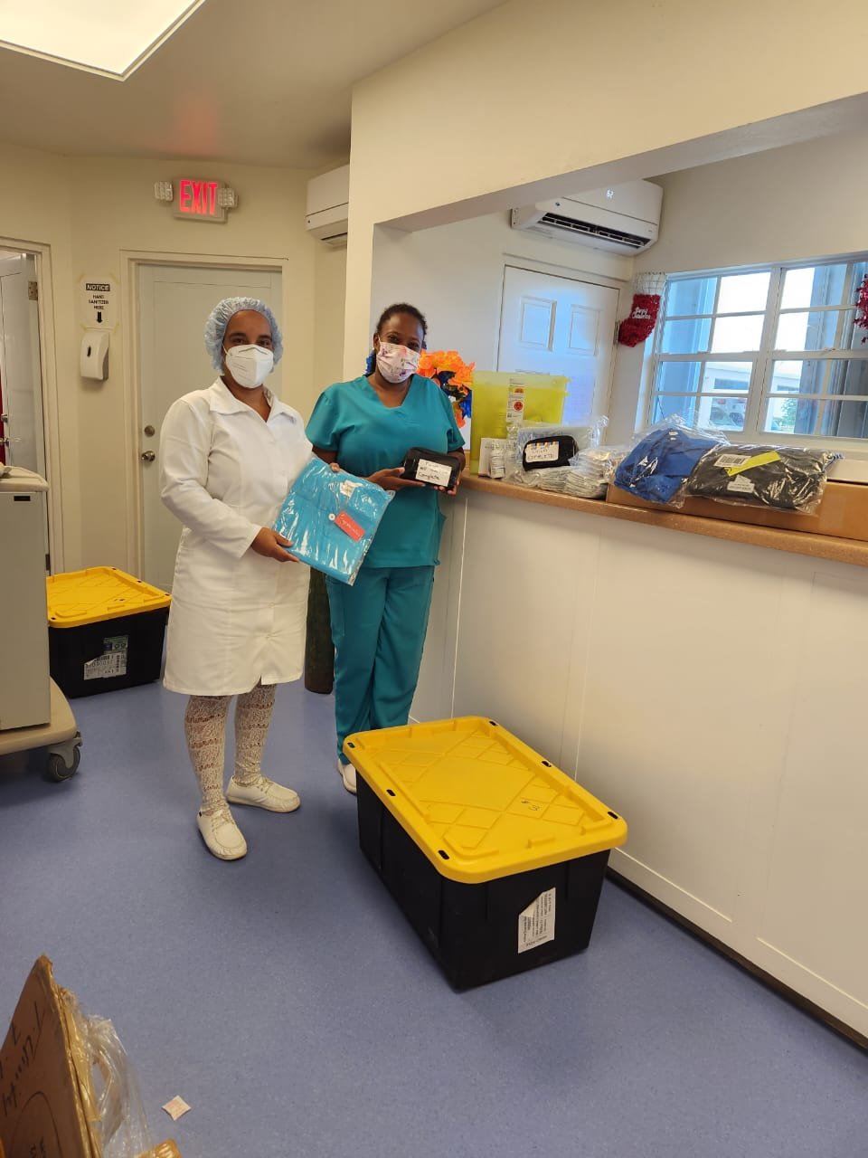
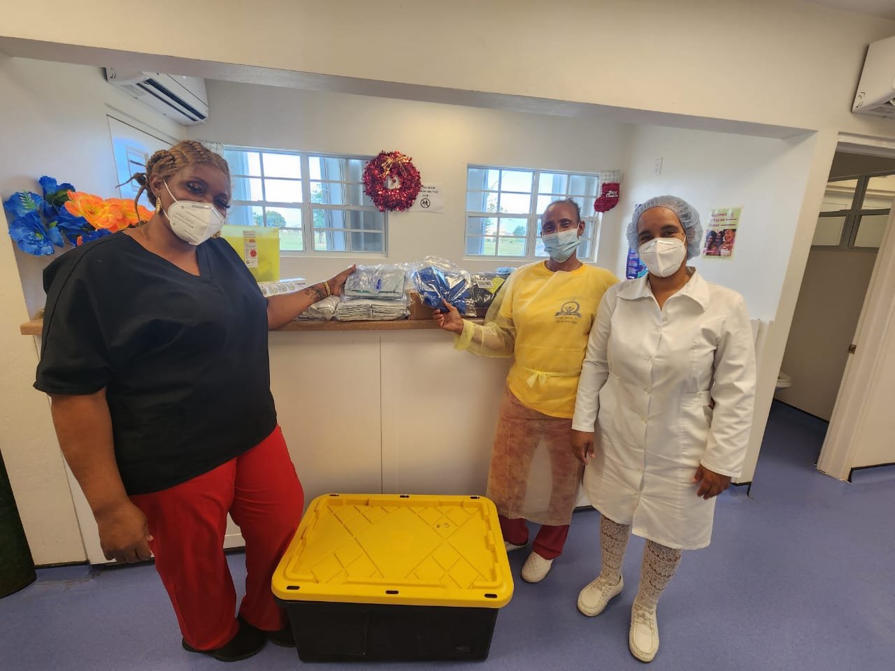
Medical Ministry International has partnered with Antigua and Barbuda Emergency Relief Canada to provide medical and surgical supplies.
In December 2022, the first shipment of medical supplies was shipped to the Hannah Thomas Hospital in Barbuda. These items have helped in many sections of the health system including patient care at the hospital, a public clinic and elderly home care programs.
About Antigua and Barbuda
COUNTRY BACKGROUND
Antigua and Barbuda are two islands in the eastern Caribbean Sea. The first known peoples to inhabit the islands were the Siboney in 2400 BC. However, the Arawak Indians were the ones to greet Christopher Columbus on his visit in 1493. It became an English colony in 1667. Slavery was abolished in 1834 and the islands became independent from the British Commonwealth in 1981.
On September 2017, the island of Barbuda was devastated by Hurricane Irma. Most structures were destroyed and the vegetation stripped. There was a mass evacuation of the population to Antigua. Today, Antigua is home to about 97% of the population.
LOCATION:
Caribbean, islands between the Caribbean Sea and the North Atlantic Ocean, east-southeast of Puerto Rico
GEOGRAPHIC COORDINATES:
17 03 N, 61 48 W
CLIMATE:
Tropical maritime; little seasonal temperature variation
TOTAL AREA:
443 sq km (Antigua 280 sq km; Barbuda 161 sq km)
COASTLINE:
153 km
TERRAIN:
Mostly low-lying limestone and coral islands, with some higher volcanic areas
ELEVATION EXTREMES
LOWEST POINT:
Caribbean Sea 0 m
HIGHEST POINT:
Mount Obama 402 m
